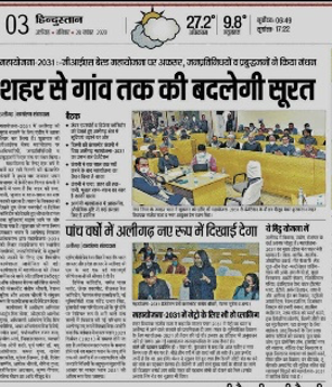
GIS based Master Plan Aligarh-2031, Bulandshahr 2031, Khurja 2031
Client: Town & Country Planning Office, Lucknow Ministry of Housing & Urban Development
Project Details:
- This project is part of GIS based Master Plan formulation scheme, taken up as a centrally funded reform for 500 AMRUT cities by Ministry for Urban Development, GOI to be implemented by State Governments. The Base map is prepared with the use of digital technologies integrating data collected through field surveys on GIS platform. For this purpose, high resolution satellite imagery is procured from National Remote sensing Agency (NRSA)
- The Master Plan is formulated as per section -8 of UP Urban Planning and Development Act, 1973. Preparation of Aligarh Master Plan involves analysis of the urban sprawl study of existing land use, assessment for future needs, determination of suitability of available land for various activities/uses, planning of new road links, reserving land for public facilities and services, zoning and framing suitable development promotion and control regulations.
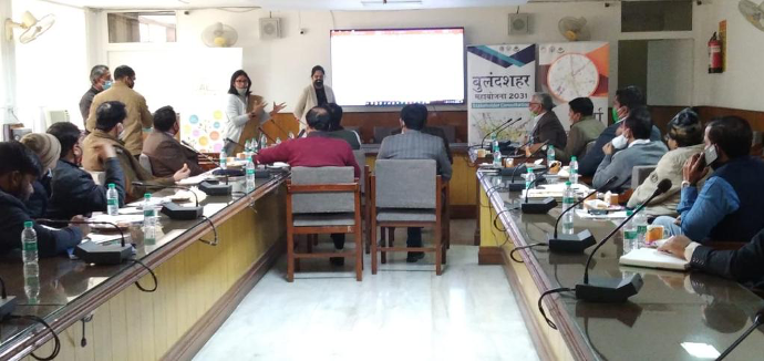
- Current Status:
- The baseline surveys and collection of data is done.
- The compilation of data is also done to understand existing situation of city. This involved data presentation with various techniques, maps and infographics. Aspect wise issues and potentials of each city is finalise to understand the future requirements of city in terms of infrastructure and land requirements.
- Projections for the future requirements are completed, we are currently working on proposals stage to Submit draft master Plan.