Project Details:
- Project Intro: GIS-based Master Plan Formulation Scheme is to be taken up as a centrally funded reform for 500 AMRUT cities by Ministry for Urban Development, to be implemented by State Governments. State Mission Directorate, Uttarakhand is the State Nodal Agency (SNA) for implementing the scheme in Uttarakhand has awarded M/s. All India Institute of Local Self Government (AIILSG) the Consultancy for Preparation of GIS based Master Plan of Haridwar Planning area of 281 sq.km. The horizon year for the GIS based Master Plan of Haridwar Planning area will be2041. All the spatial attributes are collected, and maps are prepared at the scale of 1:4000.
- Details of Region project is implemented: Formulation of GIS based master plan of Haridwar planning area include Haridwar city and 43 periphery villages. Haridwar City is in Haridwar district, Garhwal Division, Uttarakhand.
- Details of partner organisation’s if any (Include their website and logo)
- Project Description: For the formulation of GIS based master plan of Haridwar, total 281 sq.km area is considered. It includes 60 municipal wards, ShivalikNaharParishad, BHEL, SIDCUL and total 43 villages. Entire project will be completed in 5 stages and following are the key tasks under each stage mentioned
Task 1: Preparation of Base Map and Existing Land Use Map
Collection of existing spatial data: Existing data from all the key line departments and City Planning & ULBs will be collected in terms of maps & reports and it will be incorporated in the various layer formats in ArcGIS.
- Vetting of Base Map: After all the data updating the base map & existing land use map will be vetted by all the stakeholders and City Planning & ULBs department.
- Incorporating Physical Survey Data: Detailed data collected from physical survey will be updated in the form of attributes on ArcGIS platform to develop the database of the region.
- Finalisation of Existing Land Use & Base Map: after modification made as per stakeholders review final base map & existing land use map will be prepared.
Task 2:
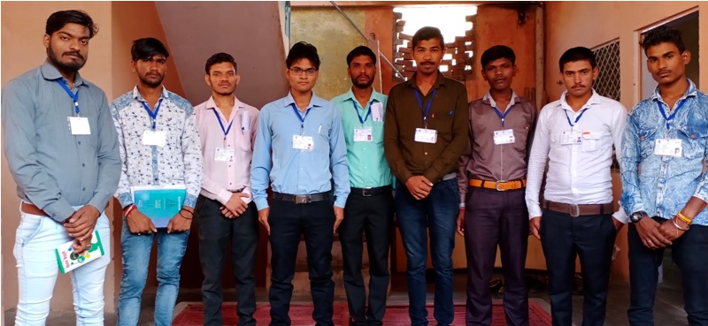
- Project team mobilization: The project team has already been mobilized and a local office has been setup in Haridwar in order to initiate the work on the Master Plan for Haridwar City.
- Finalization of the methodology and work plan
- Identification of secondary sources and data collection: Identification and collection of secondary data from respective sources immediately after the team mobilization. The secondary data collection has been collected from almost 30 departments as per the following departments mentioned below-The data is all provided strictly under AMRUT guidelines in the format provided,
- Baseline profile of the project area: The baseline profile of the project area has been compiled as the part of this stage i.e., inception report. It comprised of description of location, area, administrative units, physical setting, regional connectivity along with delineation rationale, demographic and economic aspects of the project area.
- Study of previous planning initiatives: It involves the review of the previous planning initiatives that has been undertaken by different authorities for the project rea. It has been done to assess the constraints and shortcomings associated with the previous plans.
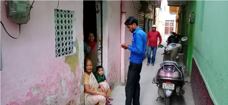
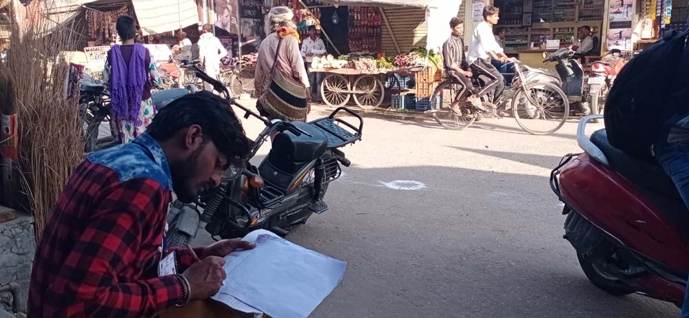
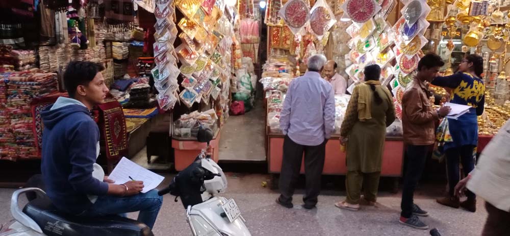
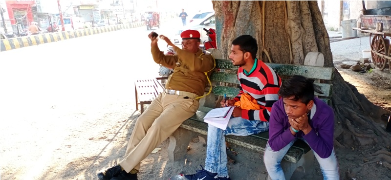
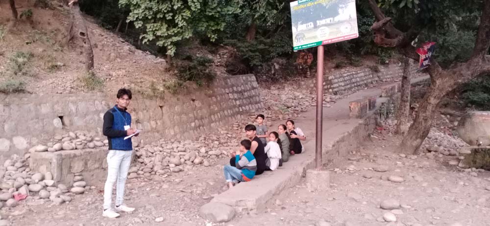
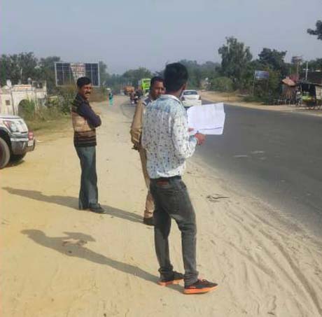
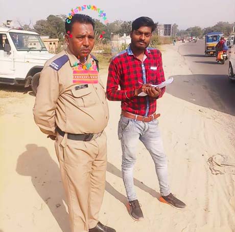
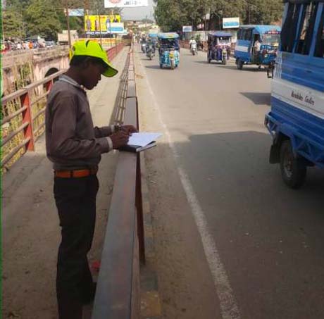
- Physical Survey: An extensive physical survey will be carried out to develop detailed land use map of the region.
Task 3: Data Analysis
The existing situation analysis was done in this stage for the delineated Haridwar planning area.
- Socio-Economic Assessment: Socio-economic assessment will be done for all the wards, slums, ashrams as well villages coming under the Haridwar Planning area region for the year 1991, 2001 & 2011. Population growth, distribution, occupational structure, workforce participation rate etc. will be analysed and it will be further converted into thematic maps in order to show the spatial variation.
- Settlement Structure Analysis: Under this, the settlement hierarchy in terms of population size will be analysed to understand the spatial distribution of the settlement structure both in urban and rural settlements.
- Land Potential Analysis: The Land Potential Analysis will be prepared in order to identify the potential areas for development under different land uses. The Parameters would be considered for evaluation of the project area will be: connectivity (major/minor road analysis), proximity to existing urban centres and village sites, proximity to existing industrial areas, land/property values, Tourism connectivity etc.
- Existing Infrastructure Assessment: Existing infrastructure and demand estimates for social infrastructure such as education, health facilities demand assessment will be undertaken at village and City level. It also involves an analysis of physical infrastructure such as road, railways, water supply, solid waste management, sewerage, sanitation, drainage etc. It will help in assessing the demand-supply scenario, identification of gaps and related issues. The URDPFI guidelines may also be referred identifying gaps.
Task 4: Stakeholder Consultation:
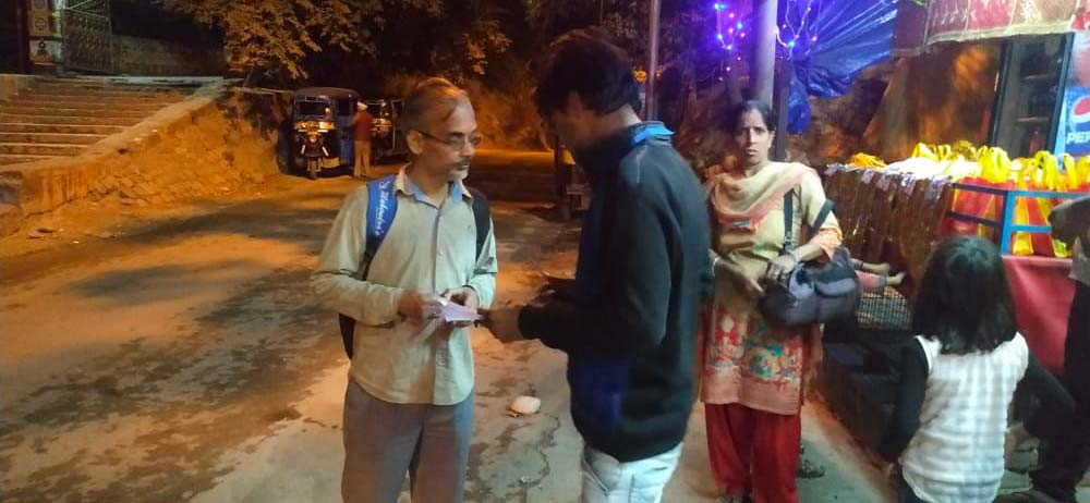
Consultation was conducted on 31 October 2019 at HRDA. Public representatives from wards and villages, government officials and key experts like architects and urban designers participated in the consultation process, the consultation was conducted in two working sessions, where Stakeholders in different groups presented their key concerns and suggestions.
Stage 2: Vision-2041 and Strategy Formulation
- Based on the detail study of different sectors of development, identification of opportunities, strengths and weaknesses and threats will be identified.
- Identification of carrying capacity parameters and its framework.
- Projection, Demand assessment and Suggestions or alternate solutions for the violations in the previous master plan.
- Evolve 2-3 alternative scenarios for spatial growth up to 2041 and its evaluation.
Stage-3: Final Spatial Strategy and Preliminary Master Plan
- Approval on preferred strategy,
- Preparation of preliminary land use plan after incorporating following plans:
(a) Transport Sector Plan
(b) Strategic Environmental Action Plan including solid and sewage disposal plan.
(c) Strategic Real Estate and Industrial Development Plan - Development control and zoning regulations.
- Capital Investment Action Plans for the consecutive 5-year development plans covering the period of the strategy (20 years), along with preliminary cost estimate of each proposal on priority.
Stage-4: Draft Master Plan including detailed Zoning Regulations and development controls.
- Preparation of Draft Master Plan, Zoning and development control regulations.
- Incorporation of the suggestions received from the Town and Country Planning Dept., Uttarakhand.
Stage-5: Assistance to Authority in finalization of Draft Master Plan and notification of final Master Plan, Zonal Development Plans, Zoning Regulations and action Plans.
Stakeholder Consultation was held on 31st October 2019 in association with HaridwarRoorkee Development Authority in their meeting hall. Consultation was chaired by sh. Harbir Singh, SecrataryHaridwarRoorkee Development Authority/ additional MelaAdhikari.
The consultation was divided into 2 sessions in which 1st session was comprised of – Government Officials, Architects, engineers and other key experts and 2nd session was comprising of Parshads, Gram Pradhans, RWA representatives etc.
The idea of making it an interactive session, three tasks were given and stakeholders were divided into groups to perform this activity.


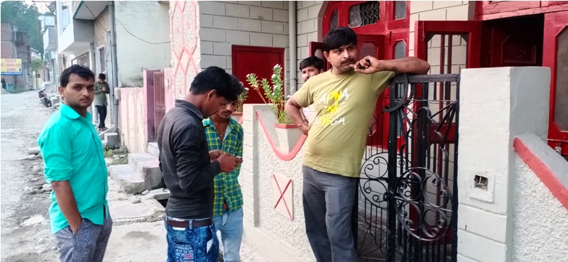
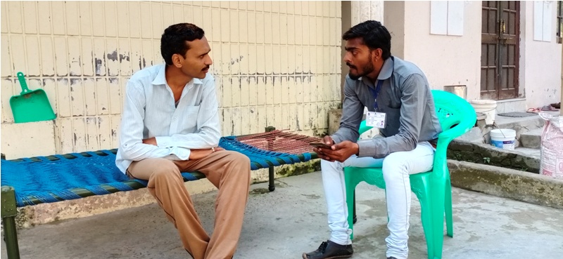
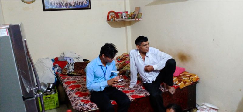
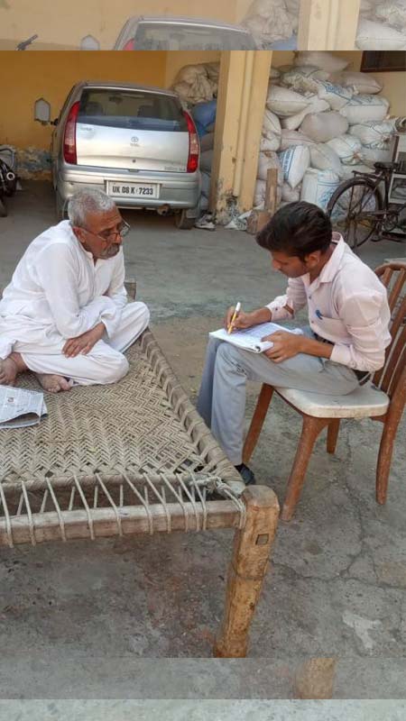
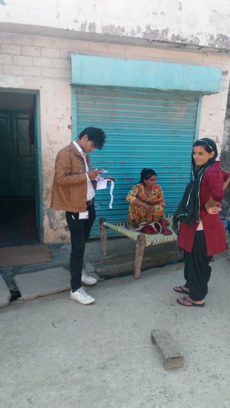
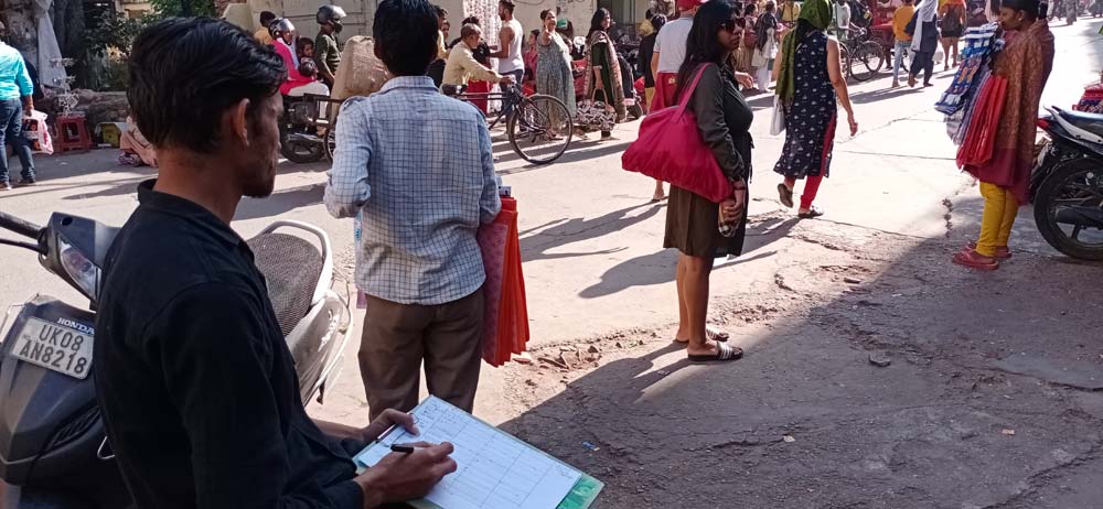
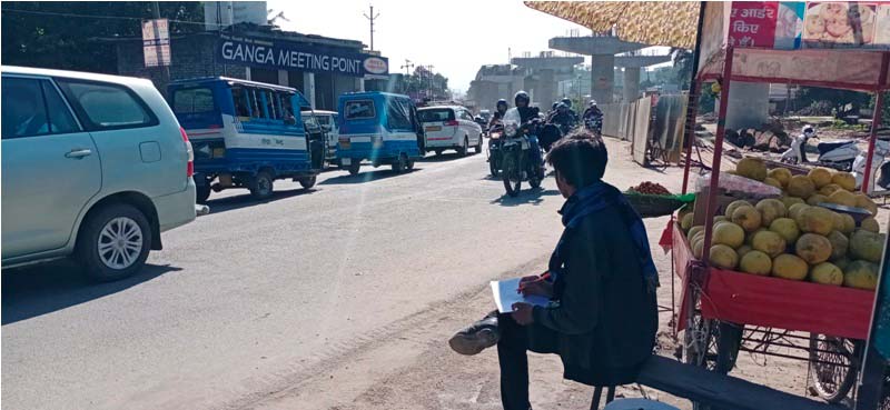
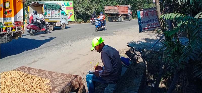
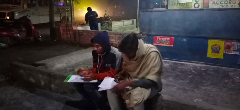
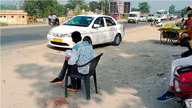
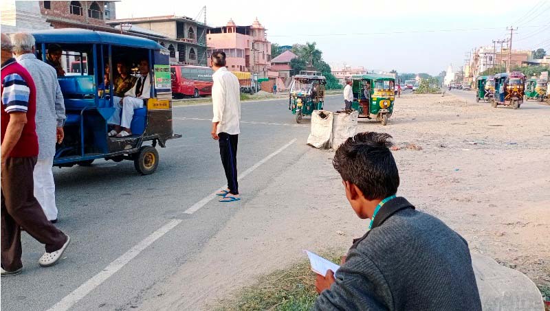
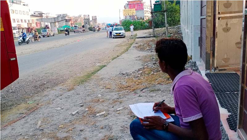
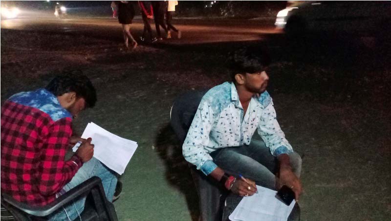
Primary Data Collection - Primary socio economic data is collected at household level, it includes rural, urban and slum households. Surveys were conducted for ashrams to know the tourist accommodation facility and nature of stay. Tourist survey were conducted at major tourist spots. To understand the transportation services, Pedestrian, Speed and delay, volume count and origin destination were conducted. Parking is one of the major issue in the city, to know the available parking facility and nature of parking we have conducted parking surveys for both on street and off street. In table 2, detail list of surveys, Quantity of survey and consideration for each survey conducted is mentioned.